Content That Works
Elevate Your Vision with KC Drone & Video Works
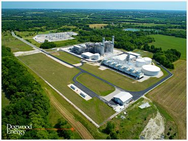
Drone technology is changing the construction industry for the better. Drones have become an excellent tool for land developers by positively impacting land development by improving surveys, modeling and forecasting, market research, construction, and asset management. Our Drones can deliver an accurate digital image of a design concept. We also provide custom editing services for marketing, investor relations, onsite Safety monitoring and evaluation.

Us at work - Inspection 45

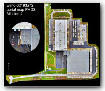
Construction and Development - Progress Data Orthomosaic Mapping Services & Survey data
Call Us for Quote, We have Monthly, Bi Weekly and Weekly Rates to show Progress. With Established Routes, We are onsite When you need us. Safe Fresh Data is the best data. We Deliver Progress Data within 24 Hours of Capture. We also offer real time data via remote monitor work station upon request. We bring the view to you, and/or Onsite data delivery day of mission.
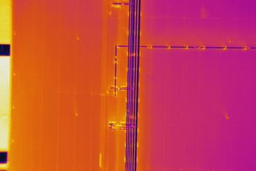
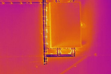
IR - Infrared Radiometric data stills and viodeo call for pricing.
20Mp HD resoluiton, 4K video with proper filters to insure quailty.
Dailey, Weekly and Monthly rates in the KC Metro and surrounding area. Cost Start at $225 1st hour $175 ad/hr. Basic Data capture = 1Hr (Video & Still Photography) Costs vary for Mapping services depending on mission site, location and data requirements.
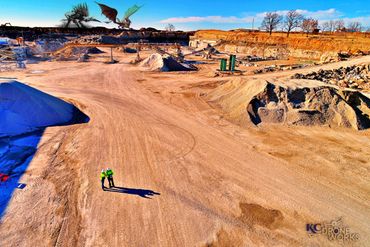
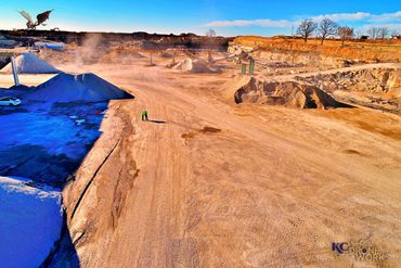
Volume Measurements - inventory calculations

Ortho Mosaic Map - Survey and area data

3D rendering for ortho mosaic map showing point clouds.


Monthly Progress Stills & Data
Us at work.


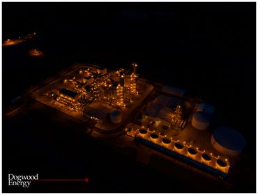
Aerial Videography
The level of mapping services we provide will allow you to further analyze the data that will help in post-processing work on your images. Measure distance, area and volume instantly to track progress and share data between team members. Collect aerial data in order to improve site planning and quality control, manage assets, and reduce on the job site risk.
Package Pricing
Deliverables are what matter most to a client. Basic Data capture (Video & Still Photography) Costs vary for Mapping services depending on mission site, location and data requirements. . Price point is affected by the specific requested deliverables. Drone technology is a low cost/high yield asset that is making it increasingly attractive to developers who want to minimize risk while maximizing profits.